WEATHER ALERT
ENVIRONMENT CANADA
*************************
Extreme Cold Warning in effect for:
- Guelph - Erin - Southern Wellington County
- Kitchener - Cambridge - Region of Waterloo
- Mount Forest - Arthur - Northern Wellington County
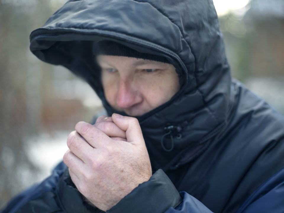
Very cold wind chill values developing tonight into Saturday morning.
After temperatures rapidly fall through the day today, wind chill values near minus 30 are forecast to develop overnight.
A reprieve from extreme cold conditions is expected to begin Saturday morning.
Extreme cold puts everyone at risk.
Watch for cold related symptoms: shortness of breath, chest pain, muscle pain and weakness, numbness and colour change in fingers and toes.
Dress warmly. Dress in layers that you can remove if you get too warm. The outer layer should be wind resistant.
Cover up. Frostbite can develop within minutes on exposed skin, especially with wind chill.
If it's too cold for you to stay outside, it's too cold for your pet to stay outside.
Please continue to monitor alerts and forecasts issued by Environment Canada. To report severe weather, send an email or tweet reports using #ONStorm.
*************************


