Environment Canada has issued a snow squall warning for later today that could produce anywhere from 15 cm to 35 cm of snow in some areas of Waterloo region.
The weather agency says a sharp cold front moving across Lake Huron makes conditions favourable for a brief frontal snow squall today followed by lake effect snow squalls later today into Thursday.
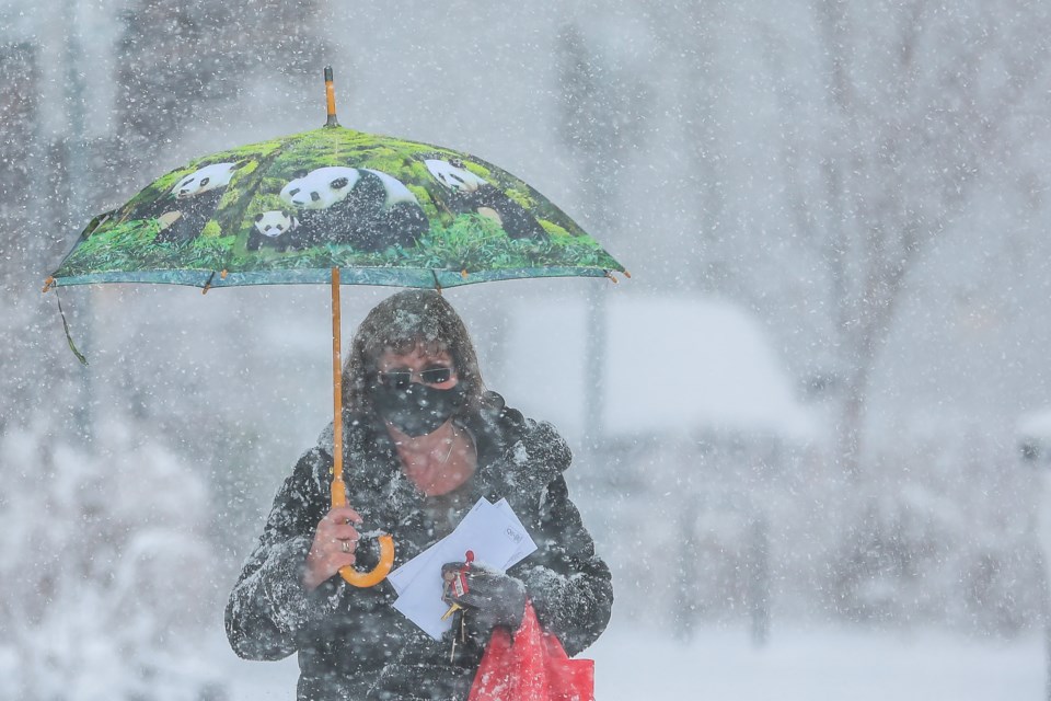
Heavy flurries, combined with northwest winds gusting up to 70 km/h will cause a sudden drop in visibility to near zero.
The squalls could produce peak snowfall rates of 3 to 5 cm per hour and create significantly reduced visibility in heavy snow and blowing snow.
Snow will begin this morning or afternoon, and end Thursday afternoon.
Behind this front, lake effect snow squalls off Lake Huron and Georgian Bay will develop this afternoon or evening and persist into Thursday afternoon.
Strong northwesterly winds along with the lake effect snow squalls will lead to significantly reduced visibility in blowing snow.
Visibility will be suddenly reduced to near zero at times in heavy snow and blowing snow.
Rapidly accumulating snow could make travel difficult over some locations. Consider postponing non-essential travel until conditions improve. Please continue to monitor alerts and forecasts issued by Environment Canada.
To report severe weather, send an email to [email protected] or tweet reports using #ONStorm.


