WEATHER ALERT
ENVIRONMENT CANADA
*************************
Winter storm warning in effect for:
- Kitchener - Cambridge - Region of Waterloo
- Mount Forest - Arthur - Northern Wellington County
Winter Storm beginning this afternoon.
Hazards:
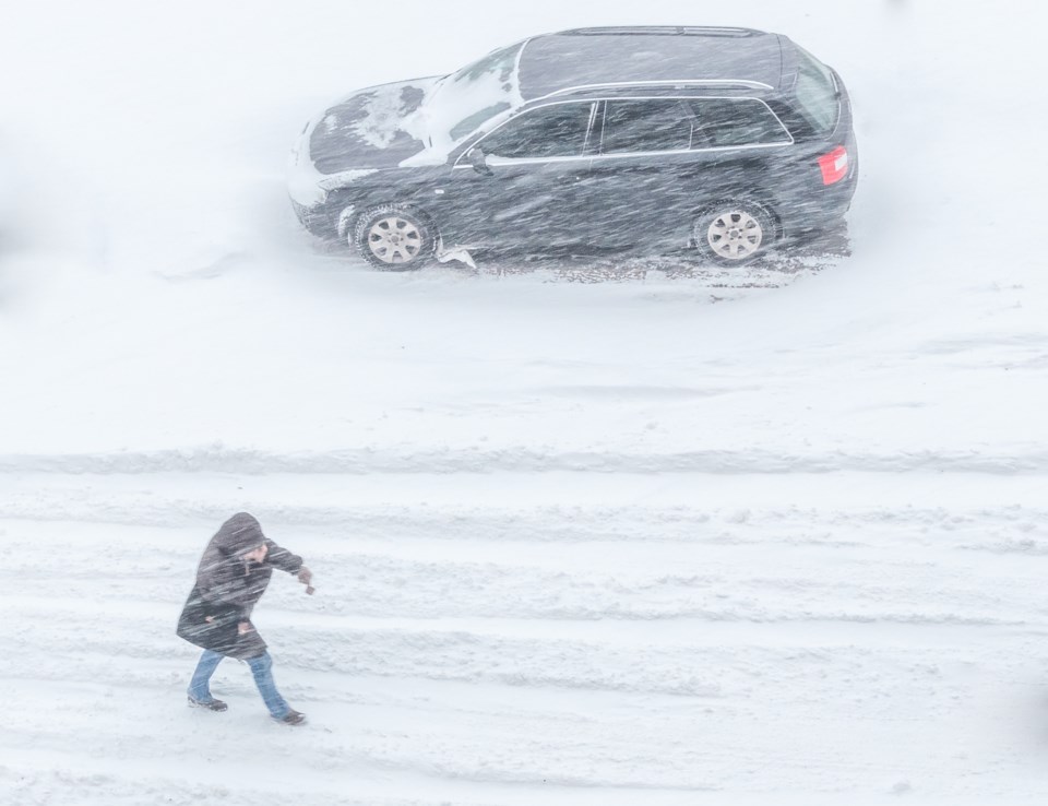
Significantly reduced visibility due to heavy snow and blowing snow.
Total snowfall accumulations of 15 to 20 cm.
Snowfall rates up to 4 cm/h possible.
Rapidly accumulating snowfall creating hazardous travel conditions.
Timing:
Late this afternoon into Saturday morning.
Discussion:
A Texas low is expected to bring heavy snow and strong winds to a large swath of southern Ontario. Snow will begin late this afternoon or early this evening and quickly become heavy at times. Heavy snow in combination with strong easterly winds will create significantly reduced visibility and hazardous travel conditions.
Surfaces such as highways, roads, walkways and parking lots may become difficult to navigate due to accumulating snow. Prepare for quickly changing and deteriorating travel conditions. Visibility will be suddenly reduced to near zero at times in heavy snow and blowing snow. If visibility is reduced while driving, turn on your lights and maintain a safe following distance.
Please continue to monitor alerts and forecasts issued by Environment Canada. To report severe weather, send an email to [email protected] or tweet reports using #ONStorm.
*************************


